Tectonic evolution of the Alaska Range
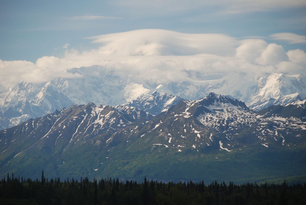
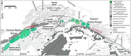
The Alaska Range is located ~500 km inland of the active southern Alaskan margin. The central Alaska Range is bounded on its northern margin by the transpressive strike-slip Denali Fault system (DFS) and contains peaks in excess of ~ 6000 m (Mt. McKinley). The eastern Alaska Range is located farther east along the DFS and occurs near the junction between the Hines Creek strand of the DFS located to the north of the range and the main strand located to the south. The high topography of the eastern Alaska Range is located mainly to the north and includes peaks such as Mount Nenana.
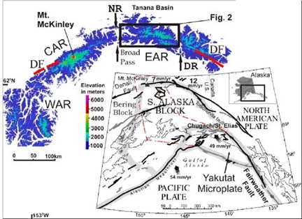
Deformation along the DFS is driven by plate tectonic processes ~500 km to the south where subduction of the Pacific plate is occurring. The Yakutat microplate, a composite oceanic/continental terrane is actively undergoing both subduction and collision, with the latter increasing toward the eastern margin. The Yakutat microplate is moving parallel to the Fairweather Fault at ~46-52 mm/yr. Collision of the Yakutat has resulted in deformation in southern Alaska south of the DFS, accommodated mostly as thrusting and uplift of the Logan-St Elias coastal orogen. The Yakutat terrane has been thrust under Alaska to a depth of ~140 km and extends as far as 600 km north of the trench. The recent imaging of the Yakutat slab under Alaska and discovery that it is buoyant and well-coupled to the lithosphere suggests that this slab may be responsible for deformation into central Alaska.
Research Objectives
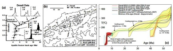
To apply low-temperature thermochronology to the Alaska Range to constrain the patterns of denudation and hence constrain the tectonic evolution of the region and driving mechanisms for deformation along the fault. We are working in the central Alaska Range and also the eastern Alaska Range with collaborators Jeff Benowitz and Paul Layer (University of Alaska, Fairbanks) and Sarah Roeske (University of California, Davis).
In the central Alaska Range we are applying (U-Th)/He on apatite separates from our previous samples, including a 4 km vertical profile from the western flank of Denali. Just north of the DFS we are using detrital thermochronology on sediments of the Nenana Gravel and Usibelli Group. Deposition of the Nenana Gravel is related to the erosional unroofing of the Alaska Range.
In the eastern Alaska Range we are applying low-temperature thermochronology (apatite fission track) to basement samples. Jeff Benowitz and Paul Layer are doing the 40Ar/39Ar on those same samples and Sarah Roeske is undertaking detailed structural and petrographic analysis along the DFS.
Various tectonic factors have been related to uplift and subsequent denudation and/or exhumation of rocks in the Alaska Range including:
1) The change in relative plate motion of the Pacific plate
2) Strain-partitioning along the DFS
3) Collision of the Yakutat terrane
4) Variations in crustal root thickness as a consequence of the subduction of a buoyant slab 5) Coupling of the buoyant Yakutat slab
6) Rotation of the southern Alaskan microplate
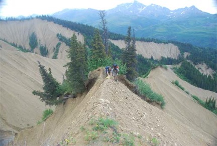
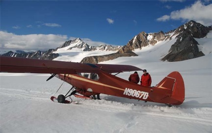
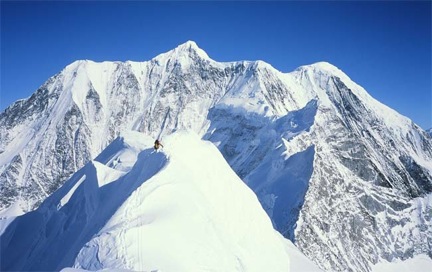
Field Images